Argusville ND Pole Barn Builders | Post-Frame Buildings North of Fargo
Post-frame buildings in Argusville and the surrounding townships, north of Fargo on Red River bottomland. The city maintains its own development code with its own setback lines, so what fits is a written document rather than an estimate. Fargo ND Pole Barn Builders also builds across the rest of Cass County, North Dakota and Clay County, Minnesota.
Get a quote on your building
Tell us the size, the use and where the site is. We will come back with a scope and a price, not a brochure.
Argusville ND Pole Barn Builders
A small city with its own development code
Argusville is a small city north of Fargo with around 480 residents, and unlike many communities of that size it maintains its own development code covering zoning and subdivision regulations. That matters because it means the rules inside the city boundary are genuinely local rather than deferred to the township.
Outside the boundary, Harwood Township and the surrounding townships apply their own zoning ordinances, and Cass County Planning supports those and handles floodplain administration for jurisdictions outside the National Flood Insurance Program.
Local conditions and figures
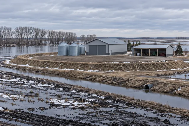
The ground here is Red River bottomland, north of Fargo and low in the valley. That means the same spring water considerations that apply at Harwood: pads built up deliberately, drainage routes established all the way out, and construction scheduling that respects the fact that saturated clay will not carry a loaded truck.
On the farmland around the city, exposure is open in every direction, putting most sites into Exposure Category C with the higher design wind pressures that follow. On tall buildings and open-front sheds that drives the bracing and the uplift connection design.
On small platted lots inside the city, setbacks rather than preference usually determine the maximum building footprint, and the difference between what the owner pictured and what the plat allows is frequently a few feet in one direction. That is much easier to absorb at sketch stage than after a design has been costed. It is the main reason we ask for the plat before we ask what size building you want.
Small city, real local control
Plenty of communities this size defer to the township or the county. Argusville does not: it maintains zoning and subdivision regulations of its own, including plat requirements that show building setback lines with dimensions. For anyone building inside the boundary that is genuinely useful, because the answer to what is permitted is written down locally. It also means a quote produced without reading that document is a guess.
How we build in Argusville
- City development code checked first
Argusville maintains its own zoning and subdivision regulations, including building setback requirements.
- Township ordinance outside the boundary
Different rules a short distance away, and the boundary is not marked on the ground.
- Bottomland pad height
Same considerations as Harwood: this is Red River bottomland and spring water sits.
- Floodplain position established
Checked with Cass County Planning before the building position is fixed.
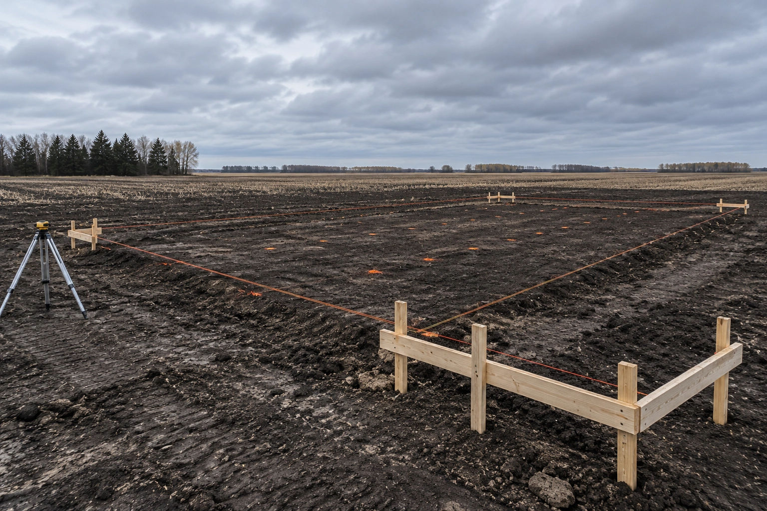
Argusville's development code sets out plat requirements including building setback lines with dimensions, which is a level of local control that a town of this size does not always exercise. For anyone building here it means the answer to 'what are my setbacks' is a local document rather than a county default.
It also means that anyone quoting you a building without checking those setbacks is guessing, and on small platted lots that guess has consequences.
Building in and around Argusville
Two different rule sets within a mile of each other.
- Inside the city
Argusville's own development code governs, including setback lines shown with dimensions on the plat. Small lots mean setbacks frequently determine the maximum building size.
- In the townships
Township zoning ordinances govern setbacks and land use, with watercourse setbacks applying near any waterway.
- On bottomland generally
Pad height and drainage design dominate every other consideration, and they are worth over-doing rather than under-doing.
- Agricultural exemption
Applies to buildings used exclusively for agriculture on a farm under NDCC 54-21.3-03, and does not exempt anything from zoning.
Before building in or around Argusville
Two rule sets sit within a mile of each other here.
- Establish which side of the city boundary you are on
Argusville maintains its own development code with its own setback requirements. Outside it, the township ordinance governs. The two are not the same.
- Get the plat with setback lines shown
The city's code requires building setback lines with dimensions on the plat, which means the answer to what will fit is a document rather than an estimate.
- Treat this as bottomland
It is Red River bottomland north of Fargo. Pad height and a drainage route out matter more than anything else about the building.
- Check the floodplain position
Cass County Planning handles floodplain administration for jurisdictions outside the National Flood Insurance Program, and it is worth confirming before the position is fixed.
How an Argusville build runs
- Step 01Establish which code applies
City development code or township ordinance, and the setbacks that come with it.
- Step 02Site and water assessment
Levels, spring water behaviour and floodplain position established before siting.
- Step 03Pad and foundations
Raised compacted pad, footings to 60 inches with bearing checked in each bore.
- Step 04Frame and finish
Structure, roof, cladding, doors and any concrete or interior work.
Questions we get asked in Argusville
Does Argusville have its own building rules?
It maintains its own development code covering zoning and subdivision regulations, including building setback lines. Inside the city boundary those local rules apply rather than a county default, which makes checking them the first step on any project.
What applies outside the city?
Township zoning ordinances govern setbacks and land use in unincorporated Cass County, with Cass County Planning providing support and handling floodplain administration for jurisdictions outside the NFIP.
Is this area prone to spring water?
It is Red River bottomland north of Fargo, so yes, spring water is a design consideration on most sites. That is not the same as being in a mapped floodplain, and we establish both before deciding where a building goes.
How high should the pad be?
Higher than on ground further from the river. The exact figure comes from the site levels and where water sits in spring, but on bottomland we build up more and would rather over-do it than under-do it.
What snow load applies?
40 psf ground snow load for Cass County under the North Dakota state table, with roof snow, drift and unbalanced cases calculated from it.
Is an Argusville quote free?
No. Quotes and site visits are free, and on a small platted lot the visit is worth having because setbacks frequently determine what will actually fit.
How long does a build take here?
A straightforward shell goes up in a week or two of working weather once the pad is in. What sets the overall programme on bottomland north of Fargo is access rather than the framing: between thaw and the ground drying out, a loaded ready-mix truck is not getting onto most sites here. Late summer and autumn are reliable, and a frozen January is often better than a wet April.
Is the city boundary obvious on the ground?
Frequently not, which is the practical problem. Two parcels a few hundred yards apart can fall under the city's own development code and under a township ordinance respectively, with different setbacks. Establishing which applies is genuinely the first step here, and it is a quick question to the city or to Cass County Planning rather than something to infer from the road.
Which rules apply inside Argusville itself?
The city's own development code, which covers zoning and subdivision regulations and includes plat requirements showing building setback lines with dimensions. That is unusual for a community this size and it is useful, because the answer to what fits on your lot is a written local document rather than an inference from county defaults.
Everything we build in Argusville
Every service is available in Argusville and the surrounding townships. Inside the city the development code decides what fits on the plot; it does not narrow what we can build.
- Agricultural Pole Barns
- Horse Barns & Equestrian Buildings
- Machine Sheds & Equipment Storage
- Livestock Barns
- Hay Storage Buildings
- Pole Barn Garages
- RV & Boat Storage Pole Barns
- Pole Barn Workshops
- Commercial Pole Barns
- Hobby Shops & Man Cave Pole Barns
- Pole Barn Construction
- Pole Barn Design & Planning
- Pole Barn Foundation & Concrete Work
- Pole Barn Framing
- Pole Barn Roofing Installation
- Pole Barn Siding Installation
- Pole Barn Electrical Rough-In
- Pole Barn Insulation Installation
- Pole Barn Repair
- Pole Barn Renovation & Additions
- Post-Frame Building Construction
- Insulated Pole Barns
- Pole Barns with Living Quarters (Barndominiums)
- Custom Pole Barn Doors & Windows
- Pole Barn Loft & Second-Story Additions
- Metal Roof Pole Barns
- Wood-Sided Pole Barns
- Pole Barn Ventilation Systems
- Pole Barn Site Prep & Grading
- Pole Barn Snow Load Reinforcement
Building in Argusville
Tell us whether the parcel is inside the city or in the township. The rules differ and it changes what will fit.